Institut za
oceanografiju i ribarstvo
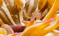
More ima ključnu ulogu regulatora klime i ublažavanja štetnih učinaka klimatskih promjena.
24.04.24 23:55
11
°C
TEMPERATURA ZRAKA
70
%
VLAŽNOST ZRAKA
0
W/m2
SUNČEVO ZRAČENJE
50
° (SI)
SMJER VJETRA
0
MED
UV ZRAČENJE
0.9
m/s
BRZINA VJETRA
1008
hPa
TLAK ZRAKA
Novosti

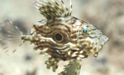
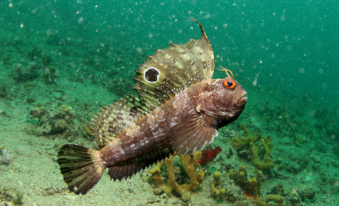
Prva nacionalna znanstveno-istraživačka institucija koja se bavi istraživanjem mora.
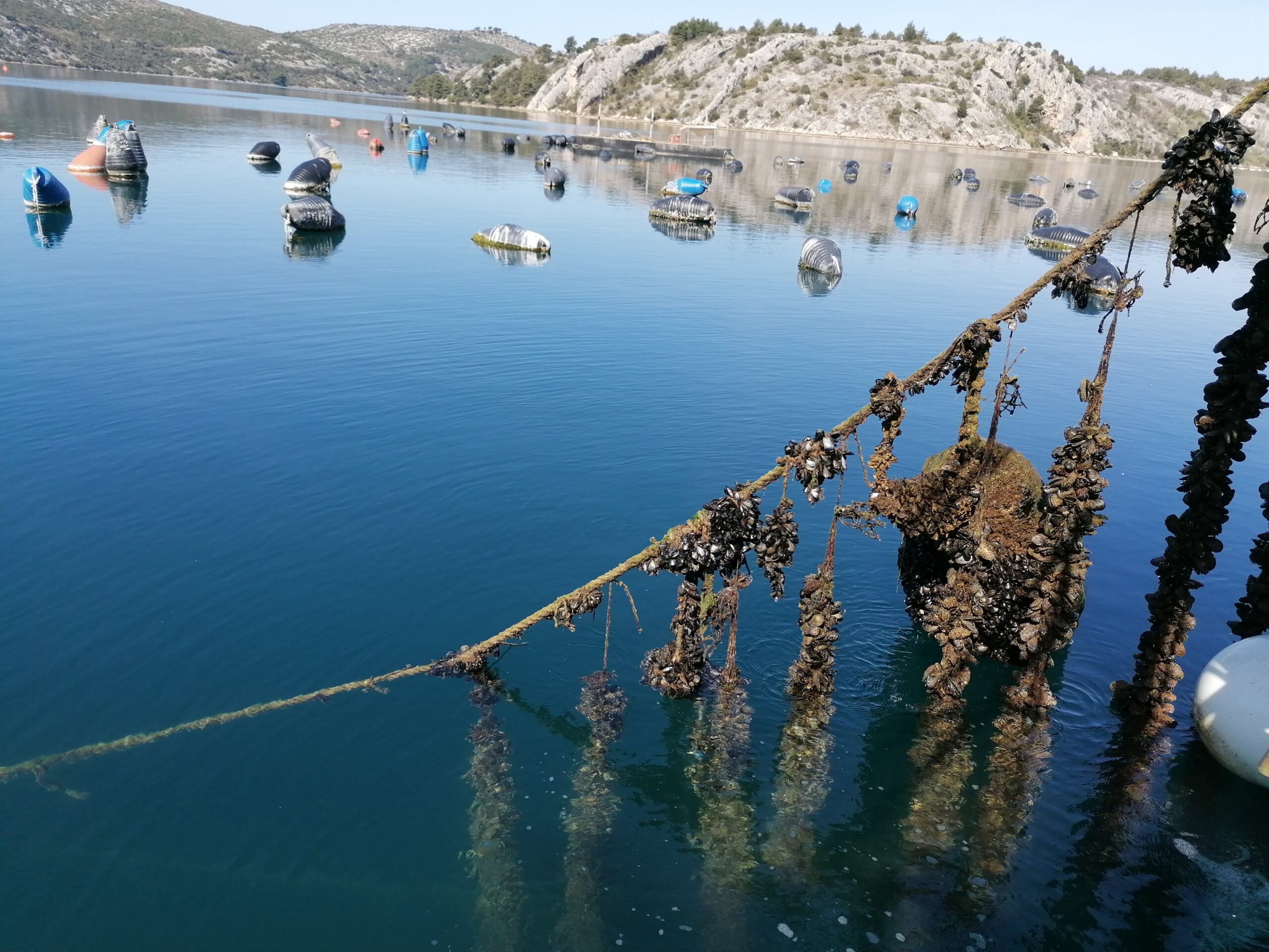
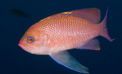
Institut provodi znanstvena istraživanja iz područja biološke, kemijske i fizičke oceanografije, sedimentologije, te ribarstvene biologije i marikulture.
Sudjelujte u istraživanju
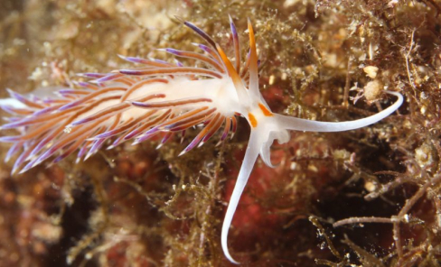
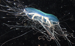
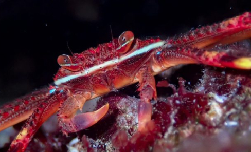
Želite biti aktivni članovi zajednice i surađivati s nama? Podijelite svoja otkrića i fotografije zanimljivih morskih organizama i pojava.
Projekti
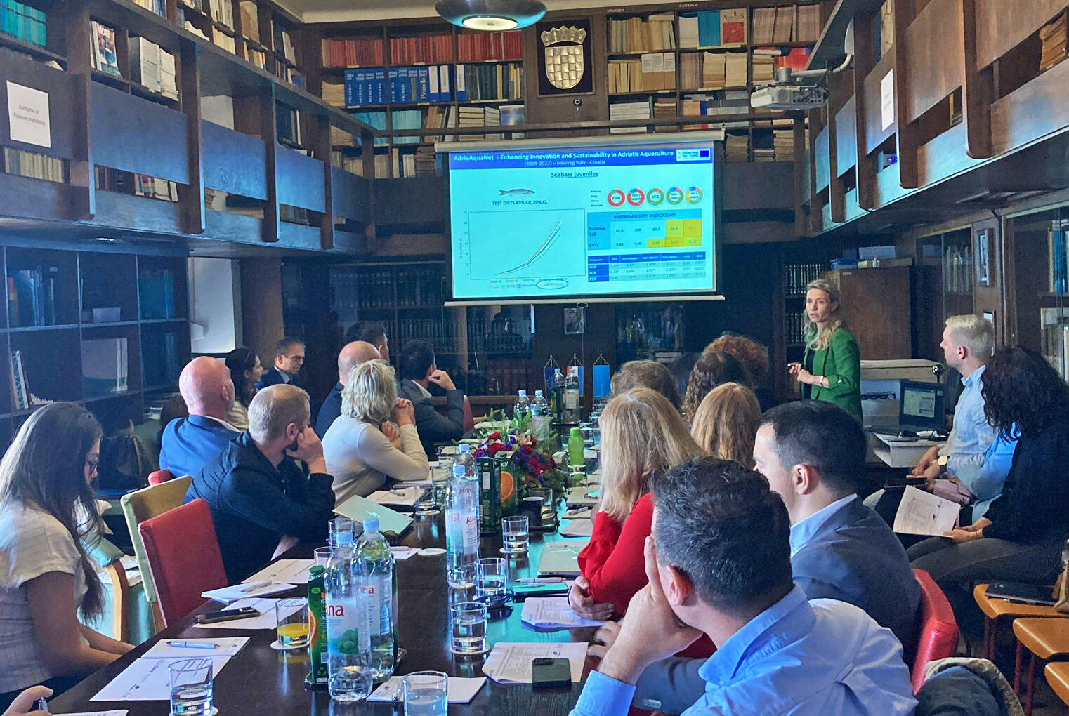
Institut provodi veliki broj nacionalnih i međunarodnih projekata.